
The English Nuttalls Mountains - Digital Download (A4 Print, 3 Pages)
$3.46
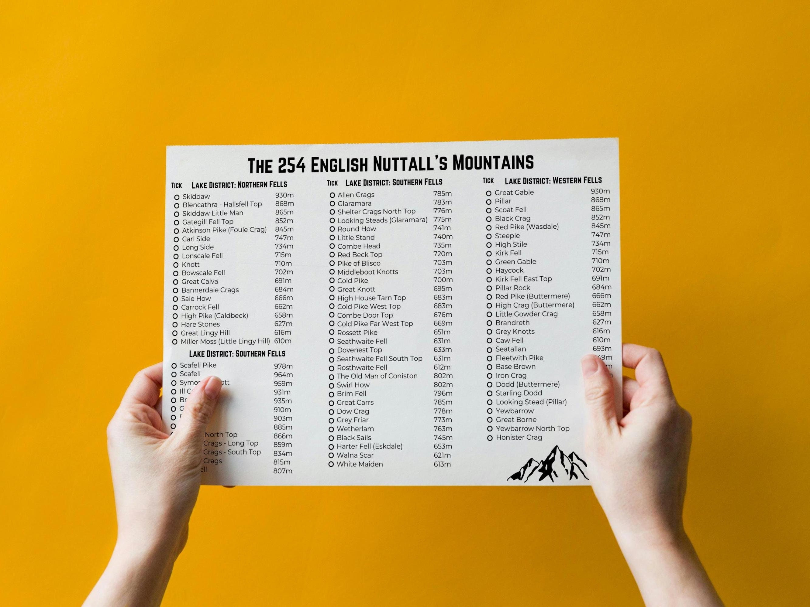
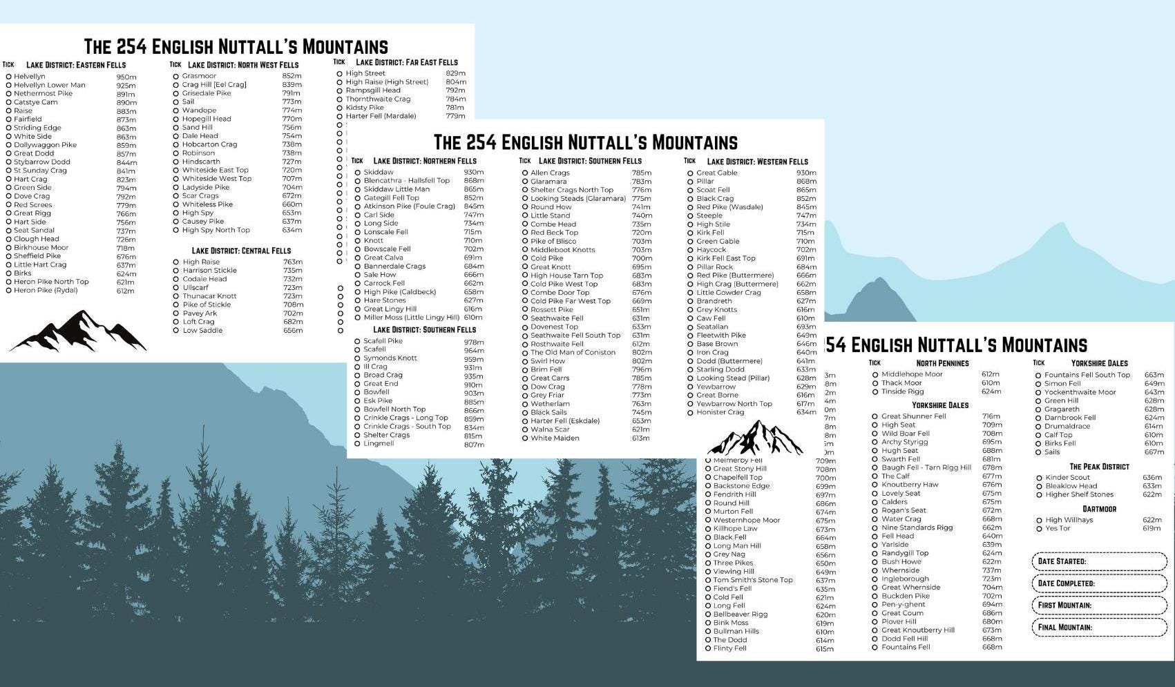
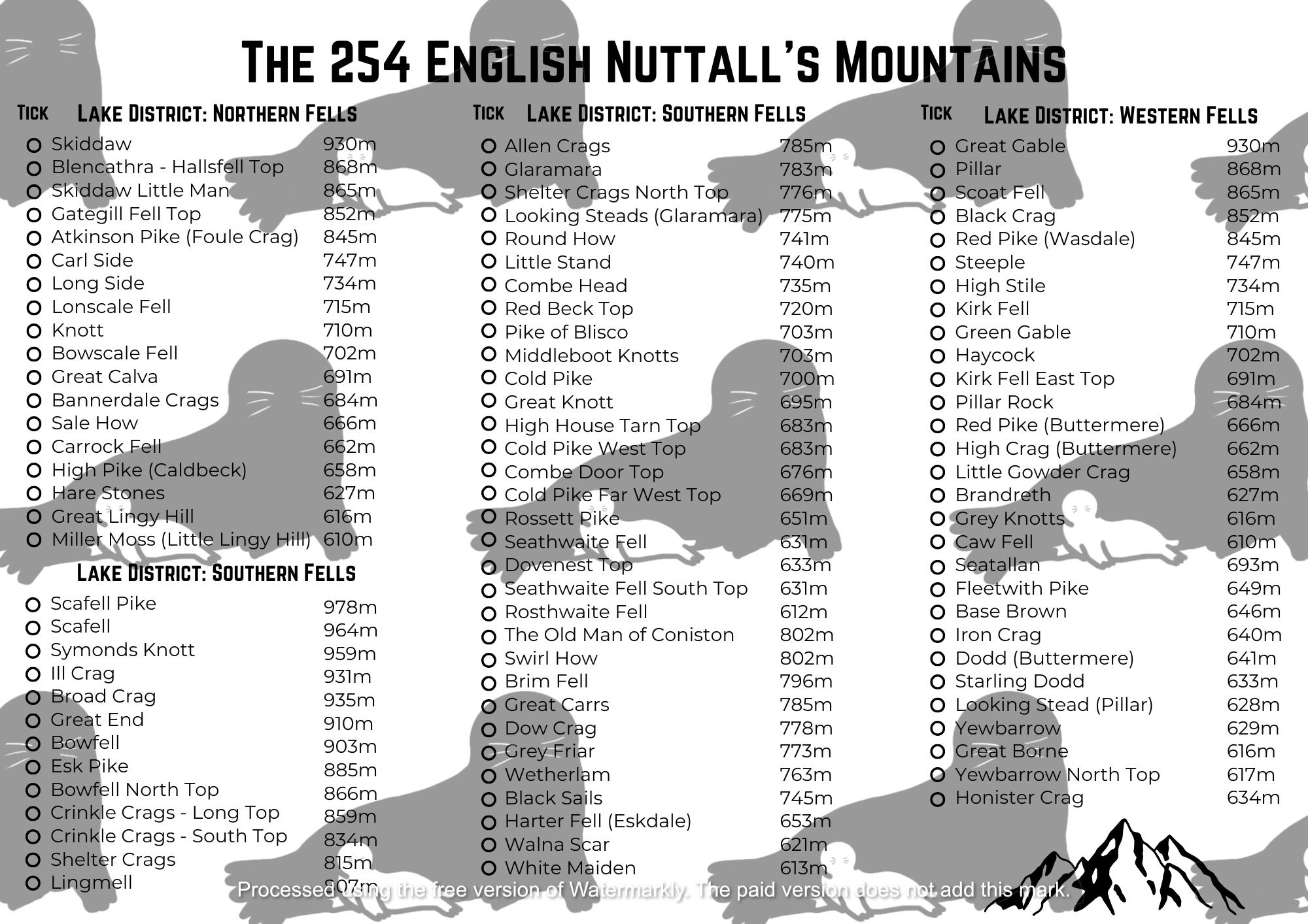
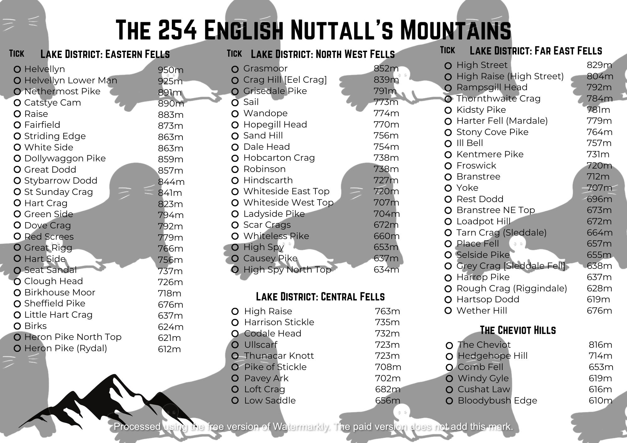
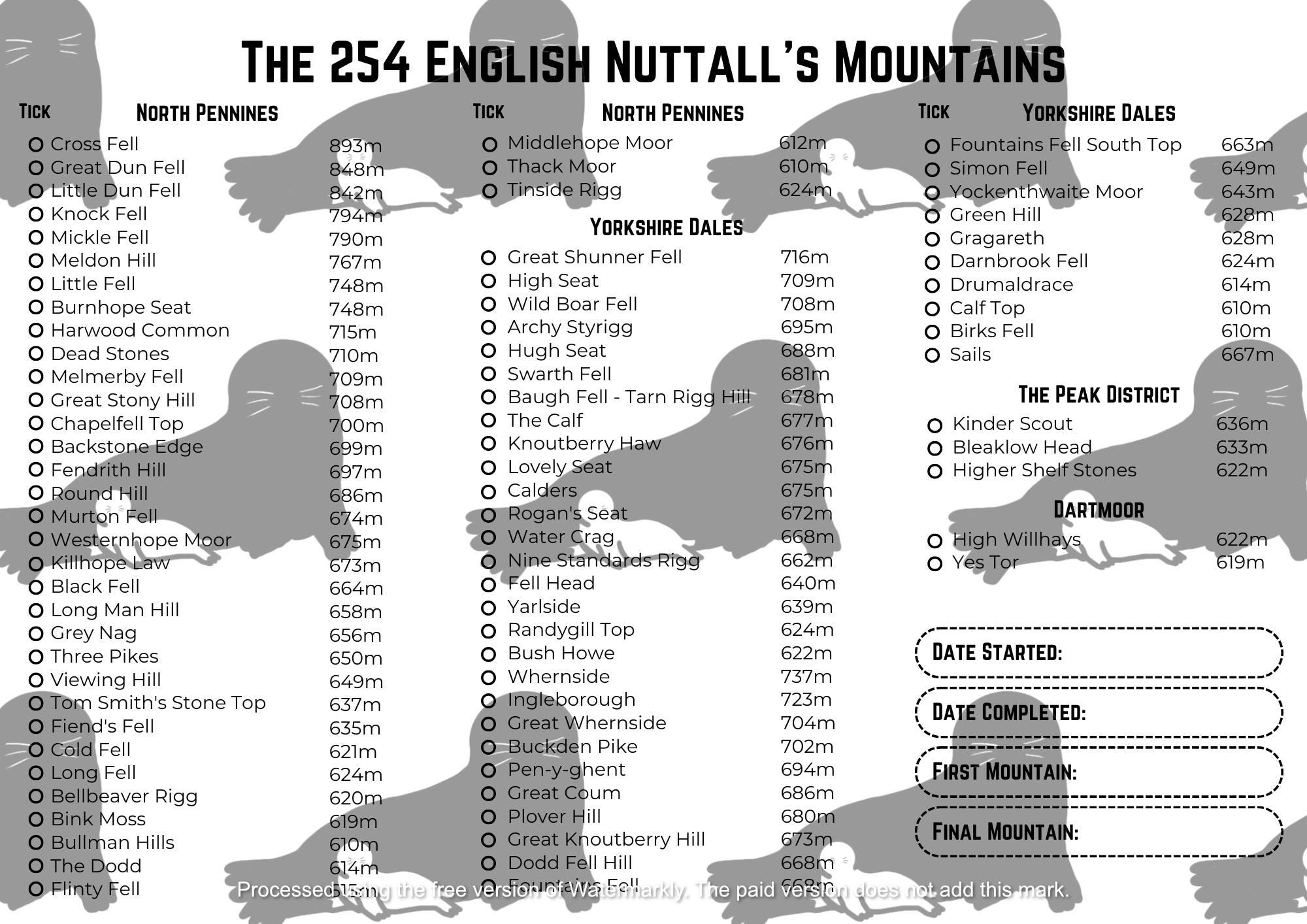
The ultimate challenge in English mountain conquering. If you are an avid hiker, peak bagger, or mountain enthusiast, then this useful A4 landscape print is for you. It spans three pages and features all 254 English Nuttalls — mountains over 2,000 feet in England — categorised by their respective regions. Each peak is listed with its height in metres, making it easy to track your ascents and plan your next adventure!
🏔️ Features:
✔Comprehensive List – Includes all 254 English Nuttalls, from the Lake District to the Yorkshire Dales
✔ Height in Metres – Clearly displays the elevation of each mountain
✔ Organised by Region – Easy to locate and tick off your completed peaks
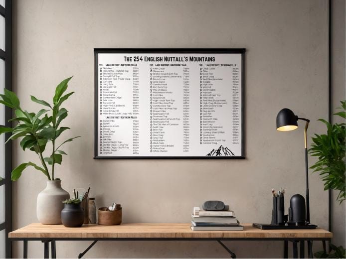
✔ Minimalist Design – Perfect for framing or keeping in your adventure journal
✔ 3-Page Layout – Ensures clear readability and a clean design
✔ Instant Download – Get it immediately after purchase, no waiting required
📥 What You Get:
- High-resolution A4 PDF file (3 pages, landscape format)
- Ready to print at home or through a professional printing service
Great for: Peak bagging, hike tracking, mountain checklists, outdoor adventures, and gifts for hikers. Use the list to guide your exploration of the Lake District, Yorkshire Dales, Cheviot Hills, and more! This printable checklist is perfect for tracking your progress!
📌 Note:
- This is a digital download, so no physical product will be shipped.
- Files will be free from watermarks
- The English Nuttalls mountains are all of the distinct peaks over 200ft (609.6m) in England with a prominence above 15m
- Names and heights accessed in 2024 from: The Database of British and Irish Hills v18.2 (https://www.hills-database.co.uk/downloads.html)
Digital downloads
File delivery
Your files will be available to download once payment is confirmed.
Payment Options
Returns & Exchanges
Returns & exchanges not accepted
But please contact me if you have problems with your order
I gladly accept cancellations
Request a cancellation within: 24 hours of purchase